
Herriman ZIP Code Coverage
Two ZIP labels matter when researching Herriman. The current standard mailing identity is 84096. The former 84065 label remains important for older delivery records, directories, deeds, and census-era work. No inspected official source supplied a second current Herriman ZIP, a ZIP-only population count, a unique institutional ZIP, or a PO-box-only ZIP. Keeping the historical row prevents an older address from being dismissed as a typo.
| ZIP Code | Areas Covered | Post Office | Notes |
|---|---|---|---|
| 84096 | Current Herriman standard mailing ZIP, including City Hall, cemetery, and modern subdivisions | Riverton office context in the USPS notice; Herriman place name | Current delivery label, not a city-limit polygon |
| 84065 | Former Riverton ZIP serving part of the area later labeled Herriman | Riverton and Salt Lake Main Office context | Pre-2006 historical label for some addresses |
The USPS July 1, 2006 notice created 84096 for part of 6,116 deliveries previously served under 84065. That change explains why a record can show Herriman in one period and 84065 in another. It also explains why a ZIP code directory should preserve the older line instead of silently changing it to a modern postal label.
Find Herriman Residents by ZIP
A ZIP code can narrow a record search, but the inspected Herriman portals do not offer one universal ZIP-wide resident list. Verify the mailing label with the USPS ZIP Lookup Tool, then use the parcel and map layers to see what the label means locally. The Assessor forms accept an address, owner, parcel number, property type, and year-built route rather than a ZIP filter. The County Clerk voter request route is separate and has no public ZIP browse screen.
- Enter the complete street, city, and state in the USPS lookup. Save the returned ZIP and postal city with the access date.
- Search the Assessor by the official address or parcel number. Copy the situs address, mailing address, parcel ID, and legal description together.
- Open Herriman GIS or the county parcel viewer. Use the ZIP, subdivision, city-limit, tax, and parcel layers as geography, not as a person list.
- For voter research, request the lawful County Clerk file and ask whether the current extract can be sorted or filtered by ZIP. Do not assume the web status tool does that.
- When a ZIP narrows the area to a street, continue with the Herriman street directory and its address-keyed record chain.
The result of a ZIP search should be labeled by source. “84096 on USPS” means mail routing. “84096 on a parcel layer” means a mapped attribute. A voter-file address is an election record. None of those labels, alone, identifies every person at an address.
Herriman ZIP Search Fields
The Salt Lake County Assessor's current and legacy interfaces did not expose a ZIP field during inspection. Their geographic substitutes are still useful when a ZIP has been verified. Use the exact address autocomplete when possible, then narrow by street, frontage, owner, parcel prefix, property type, or year built. The first seven parcel digits identify an area, section, and block and can retrieve parcels within that block.
| Field | Type or format | ZIP-search use |
|---|---|---|
| Address | Autocomplete | Select the official situs or property address after USPS verification. |
| Owner | Last Name, First Name | Check an owner tied to a ZIP-labeled parcel; not all residents appear. |
| Parcel Number | 00-00-000-000-0000 | Use the full parcel or first seven digits for a block search. |
| Frontage Number | Text | Separate nearby street numbers when the same ZIP covers a long segment. |
| Street name or number | Partial or like value | Find a street segment after the ZIP narrows the area. |
| Property type/year built | Advanced search option | Refine mapped parcels without treating the result as a household count. |
| Search and Reset | Buttons | Run a fresh query when the address autocomplete has the wrong postal label. |
The County map-by-data-type layer lists ZIP Codes, and the Herriman HOA ArcGIS service has a ZipCode attribute. Those features support spatial comparison. They do not provide a ZIP-wide name roster.
Herriman Parcel Map Changes
The Salt Lake County Recorder mapping notice records the Parcel Fabric change that matters when a Herriman ZIP code directory uses current and historic map views.
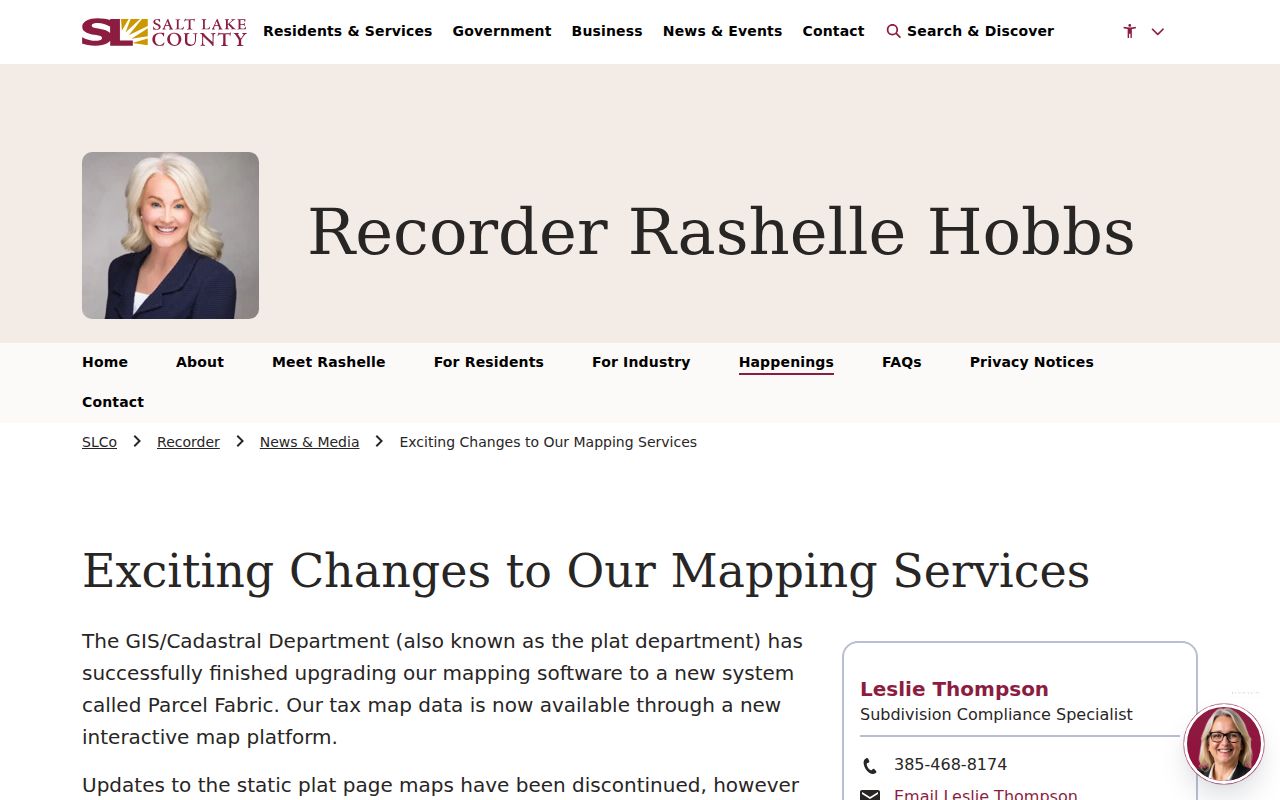
The Recorder's mapping-service notice documents the Parcel Fabric change. A current map may look different from an older static plat page, while historical versions remain available through Data Services. Treat the screenshot as a dated portal view and confirm the current parcel record before using it to interpret a ZIP code.
Salt Lake County Recorder access splits into a free quick property-document list and paid Data Services measured in data units. Images are generally available by the next working day. The Recorder warns that public information may be at least 24 hours old and that a title search may be needed. A map attribute is therefore a useful lead, not a certified ownership or boundary finding.
Herriman ZIP Lines and City Limits
ZIP boundaries and municipal limits answer different questions. The City of Herriman states 84096 on current addresses, yet a postal city can cover land outside the incorporation line. Conversely, a parcel can carry a historical or neighboring postal label while its present record uses Herriman. High Country Estates is an unincorporated western-area caveat in the General Plan.
Rosecrest was annexed in 2009, and the 933-acre Olympia annexation took effect January 1, 2022. Those checkpoints matter when a deed, tax file, voter district, or directory changes its place wording. A former county or rural label can be correct for its date. It should be quoted, not silently updated.
- ZIP versus ZIP+4
- A five-digit ZIP identifies a delivery area. ZIP+4 adds four digits for a more specific delivery segment; it does not define a city boundary.
- PO-box ZIP
- A ZIP assigned to post-office box delivery. No Herriman PO-box-only ZIP was located in the inspected sources.
- Unique ZIP
- A ZIP assigned to one institution or special organization. No Herriman unique ZIP was located.
- Carrier route
- A postal delivery route within a ZIP. It is a mail-service unit, not a parcel, voter, school, or tax district.
Boundary check. USPS verifies mail routing. Herriman GIS verifies municipal and subdivision geography. Salt Lake County Assessor and Recorder records verify parcel and title clues. Keep all three labels in the research notes.
Herriman Tax and ZIP Geography
The Herriman property-tax notice gives a dated view of the taxing layers that sit beside a ZIP code directory.
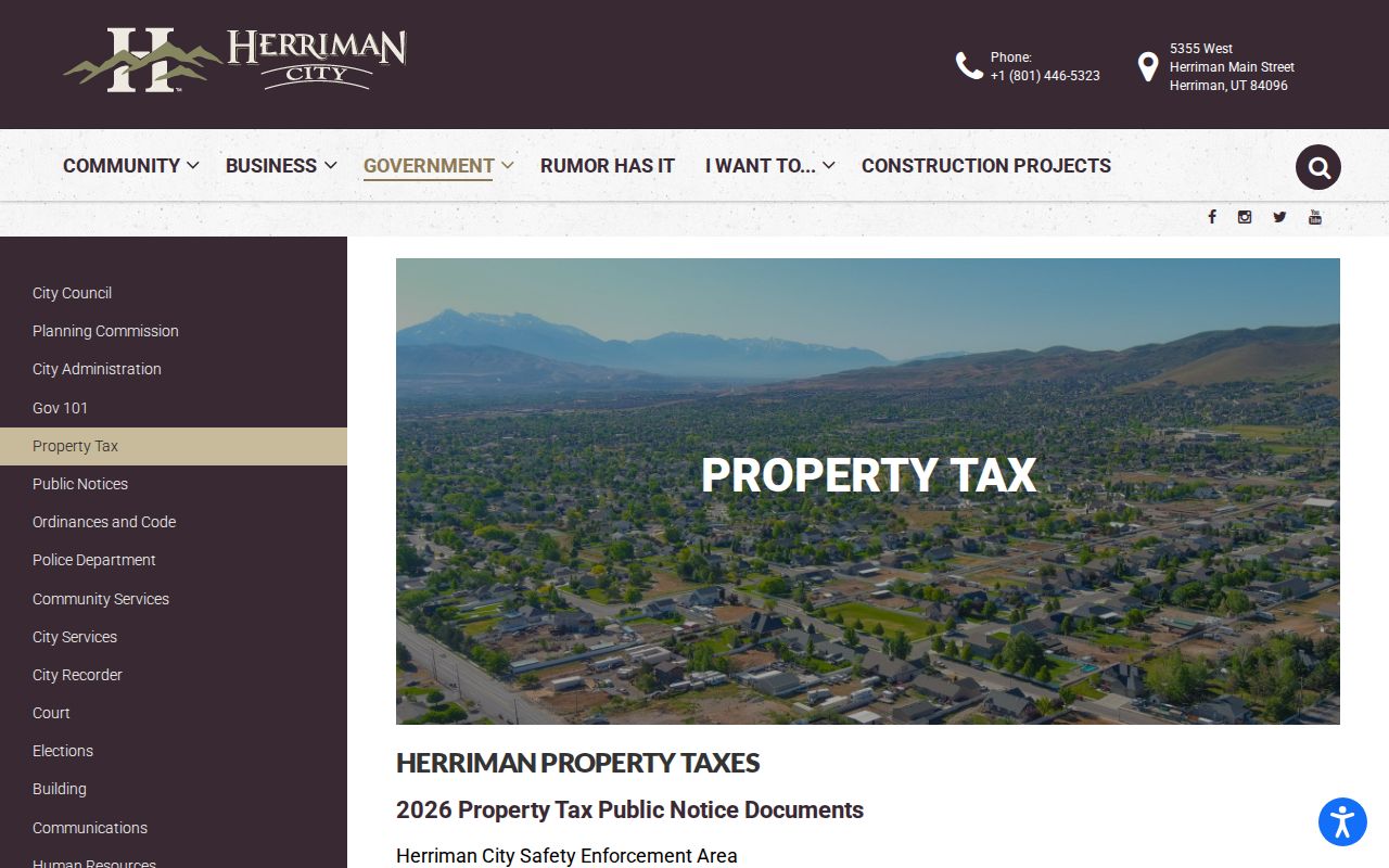
Herriman property-tax notices show that more than a dozen taxing entities can touch a parcel, along with city-controlled Safety Enforcement and Fire Service areas. A tax notice therefore gives jurisdiction context, not a ZIP-based resident total. Copy the tax year and parcel reference before comparing it with a postal label.
County GIS adds address grid, ZIP, parcel, tax, voting, PLSS, centerline, and city-boundary layers. Herriman GIS adds zoning, subdivisions, council districts, floodplains, parks, trails, cemetery, and street atlas maps. A ZIP code directory becomes more accurate when each layer is named with its custodian and date.
Herriman Postal Labels in Context
Public Herriman ArcGIS services show the mapped layers that help place a ZIP code in local context.
Herriman's public ArcGIS services show why a ZIP code directory needs a map layer beside a postal lookup. The HOA service can include HOA, subdivision, parcel, parcel-centroid, new-development, road-centerline, and city-limit layers. Its ZipCode attribute can help locate mapped features, but it is not a ZIP-wide people search.
Use the address vocabulary found in local records: Herriman Main, Pioneer, Herriman Boulevard, Mountain View Corridor, Rosecrest, Olympia, Blackridge, Juniper Canyon, and subdivision names. Older records may use Butterfield, rural, Riverton, township, or precinct language. A development name paired with the parcel often works when a modern street string does not.
Herriman ZIP Directory Updates
The Herriman property-tax update is a local example of why ZIP code directory notes need a tax year and jurisdiction label.
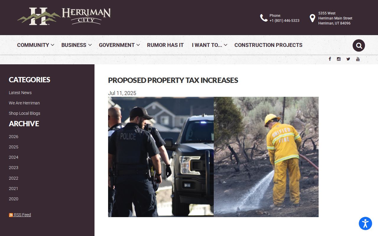
Recent city notices and county mapping changes are useful when a record has a new development, tax area, or annexation label. The July 2025 property-tax material describes the many taxing entities on a notice. It does not publish a ZIP-by-ZIP count of residents. No such official count was located.
For any live ZIP code directory work, record the source URL, access date, returned postal city, parcel ID, and city-limit result. Recheck portal behavior because the County Recorder has been moving from static plat pages to Parcel Fabric while historical material remains in office-mediated services.
Herriman Address Layers
A street number and a ZIP code are not the same kind of identifier. The Assessor displays a parcel format of 00-00-000-000-0000, and the first seven digits can retrieve a block. A deed or plat may instead use a subdivision, lot, block, or metes-and-bounds legal description. Copy the current situs, tax mailing address, parcel ID, and legal description together before comparing one record with another.
Herriman GIS, Planning, and Building handle city street and subdivision information. County Administrative Services standards apply to unincorporated addressing. A single public E911 or address-assignment form was not exposed. For a new address, correction, unit designation, or archived readdressing map, the research route is Herriman GIS at 801-446-5323 or gis@herriman.gov. No official citywide renumbering project or year was located.
The address layer can also change with development. Newer streets use subdivision names and planned corridors, while older material may use rural routes, farms, Butterfield, Riverton, township, or precinct labels. Mountain View Corridor, Rosecrest, Olympia, Blackridge, Juniper Canyon, Herriman Main, Pioneer, and Herriman Boulevard are useful terms to retain in a search worksheet. A ZIP code directory is strongest when those names remain tied to the source and date that used them.
Keep the returned postal city beside the municipal label. A matching street name is helpful, but the parcel and city-limit layers decide which local custodian owns the next record request.