
Herriman Neighbor Record Sources
A block lookup begins with mapped parcels, then adds only the records that answer the question at hand. The Salt Lake County Assessor can show an owner, situs, mailing clue, and parcel. Herriman GIS can place that parcel beside roads, subdivisions, city limits, and other layers. A voter extract may show public name and address fields, while city minutes and civic groups add public context. Historical directories can suggest past households, but no official Herriman reverse or criss-cross run was located.
| Source | What It Shows About a Block | Access |
|---|---|---|
| Assessor Parcel Viewer | Adjacent geometry, parcel IDs, mapped owners and location clues | Free map |
| Property or tax roll | Recorded owner, situs and mailing address per parcel | Free search |
| Utah voter data | Public names, addresses, age range, status, districts, history | Request or self-status; protected fields withheld |
| Herriman GIS and HOA layer | Subdivisions, roads, city limits, parcels, HOA geography | Public map; no member roster |
| Library and Archives directories | Period households and address clues where a volume exists | Library or appointment; no local run located |
An owner is not automatically an occupant. A mailing address can point away from the parcel, and renters or other household members generally do not appear in owner rolls. A nearby voter is a person in an election file, not proof of every adult at that parcel. Call each result what it is: adjacent recorded parcel, same block prefix, same election geography, or same civic source.
Map Adjacent Herriman Neighbor Parcels
The Herriman neighbor method is spatial. Start with one known address in the Salt Lake County Assessor Parcel Viewer, save the parcel ID and situs, then inspect the polygons that share a boundary. A corner parcel may touch a road, open space, common area, or another subdivision, so the next street number is not always the next parcel.
- Use Find Parcel, Owner, or Address, then click the known parcel and open its details.
- Choose Pan to Selected and inspect each adjoining polygon. Record the parcel ID, owner clue, situs, subdivision, and city-limit status.
- Enter a distance in feet, choose Buffer, and click the map for a radius. Use Draw Point, Line, or Polygon with Select by Graphic for a chosen block shape.
- Switch between street, aerial, and topo basemaps. Herriman layers add zoning, flood, council districts, subdivisions, cemetery, and street-atlas context.
- Use the seven-digit Assessor parcel prefix as a second block check, removing roads, common land, and parcels outside the street segment.
This process returns mapped relationships, not a full list of neighbors. For the complete named-street chain, use the Herriman street directory, which follows address, parcel, deed, permit, and tax clues along a street.
The Salt Lake County Recorder office page is the source for the plat and transfer records that can explain a Herriman neighbors map.
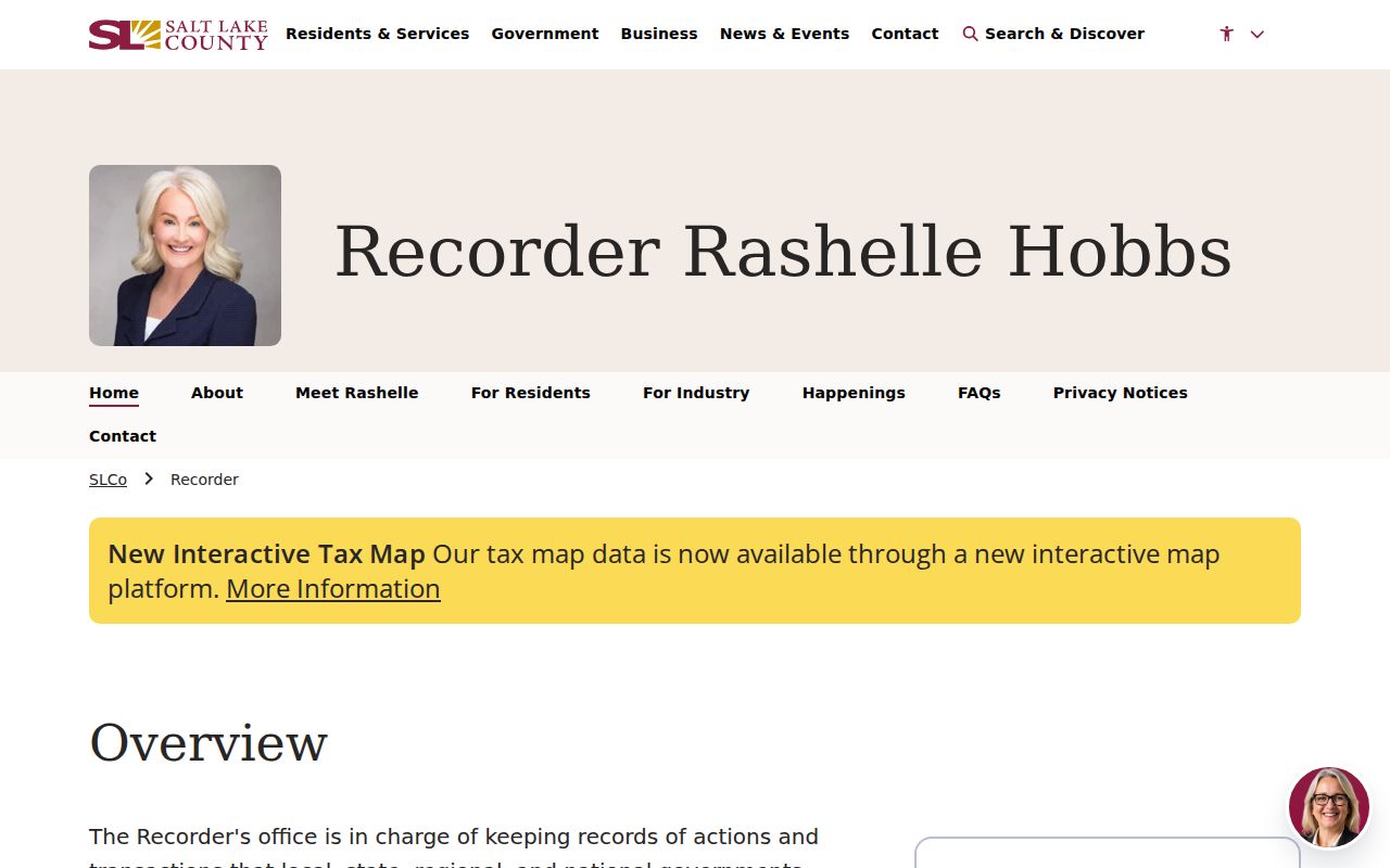
The County Recorder office is the next stop when a parcel needs a recorded plat, legal description, or transfer trail. A plat can show lot lines and common areas without exposing a private member list.
Herriman Neighbor Buffer Steps
A buffer is useful when “neighbors” means a radius rather than parcels sharing a line. The viewer's Distance in Feet and Buffer controls let a searcher mark an area, while graphic selection can gather several parcels. The result still needs a source label. A chosen buffer, a subdivision layer, and a seven-digit prefix are not interchangeable boundaries.
The Herriman Police records page shows the city contact route for a block question involving a specific incident.
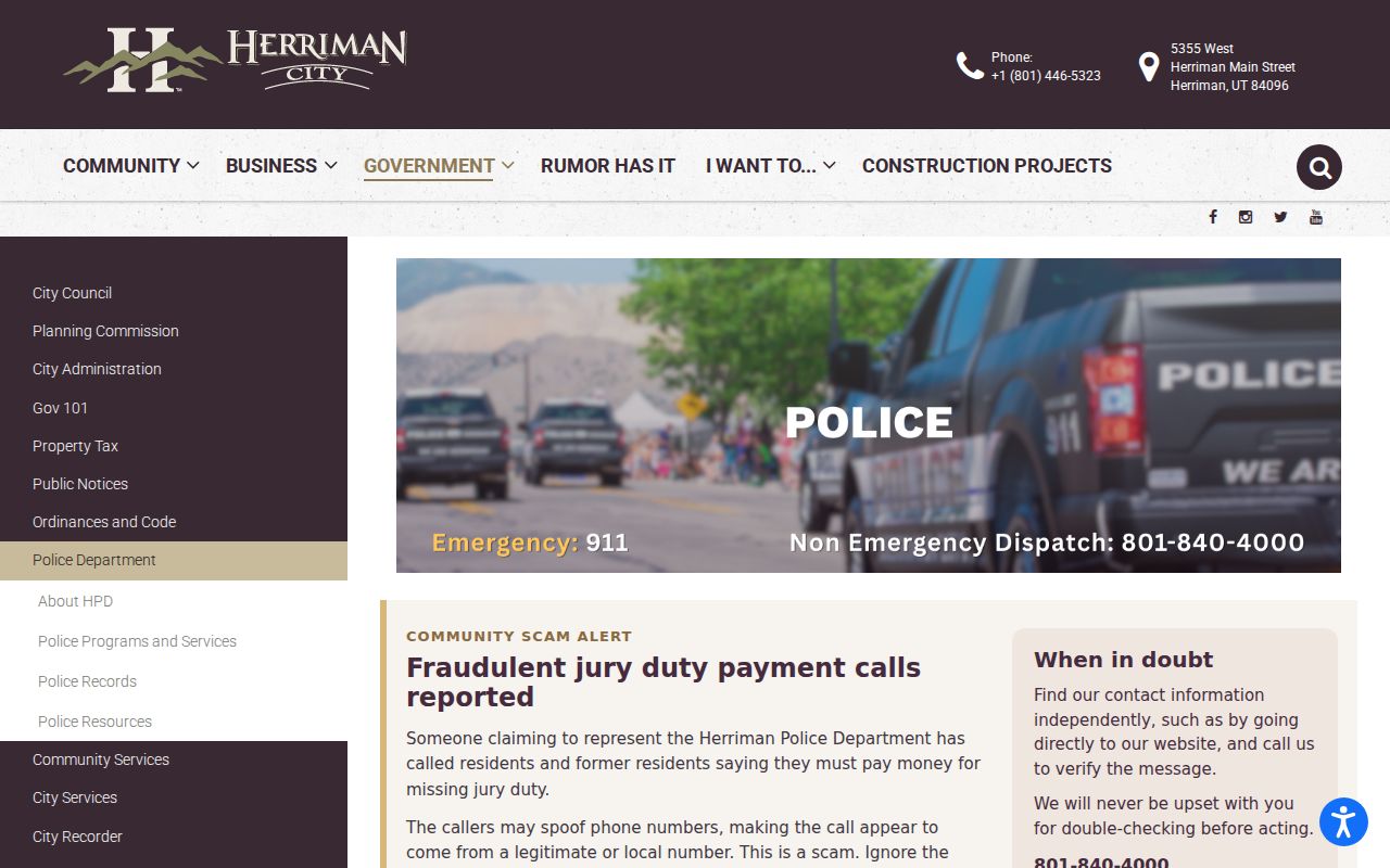
Herriman Police provides a records-request route rather than a public incident-name roster. The department lists 5355 West Main Street, Herriman, 801-858-0035, police@herrimanpd.gov, and non-emergency dispatch at 801-840-4000. Use a date, incident number, location, and record type when a block question concerns an incident. Protected victim, juvenile, medical, or investigative fields may be withheld.
City code and permit records can add a project or notice timeline to a parcel. The code portal allows submissions and review, but its public search fields and retention were not exposed. A narrow GRAMA request for an address and date range is the documented fallback.
Herriman Civic and HOA Neighbor Layers
Herriman's public community layer is made of groups and meeting records, not a household directory. The City committees page names the Historical Society, Veterans and Military Advisory Committee, Friends of Herriman, Arts Council, Healthy Herriman, Trails Committee, Off Highway Vehicle Committee, and Youth Council. Public agendas, appointments, minutes, and project comments can identify civic participants or explain a block issue.
The HOA ArcGIS service includes HOA, subdivision, parcel, parcel-centroid, new-development, road-centerline, and city-limit layers. No public HOA member directory was located. South Valley Chamber, Jordan Basin Improvement District, Unified Fire, Wasatch Front Waste & Recycling, Trans-Jordan, and regional bodies can add service-area or public-representative context, but they should not be presented as lists of neighbors.
| Public contact route | Useful block evidence |
|---|---|
| Herriman committees | Meeting dates, appointments, public comments, and group context |
| Herriman GIS | Subdivision, road, zoning, flood, district, cemetery, and city-limit layers |
| Salt Lake County Recorder | Plats, covenants, common areas, legal descriptions, and transfers |
| Jordan Basin and Unified Fire | Service-area geography and public board material |
| South Valley Chamber | Possible public business context; current member directory not located |
Herriman Voter Visibility for Neighbors
Utah public voter data can contain name, residential and mailing address, age range, active or inactive status, districts, and vote history. A County Clerk list request or state file purchase is required for bulk access. The individual “Look Up My Status” route is for the voter and is not a browse tool for a block. Full birth date, license or ID, Social Security number, email, phone, signature, and At-Risk records are withheld.
A blank address should not be filled by inference. It may reflect withholding, an inactive record, timing, or the limits of the requested file. The election layer is one clue among parcel, plat, and civic records. It does not show every adult, every household, or a person's present location.
The Herriman Justice Court page illustrates the local court route that can add dated context to a Herriman neighbors search.
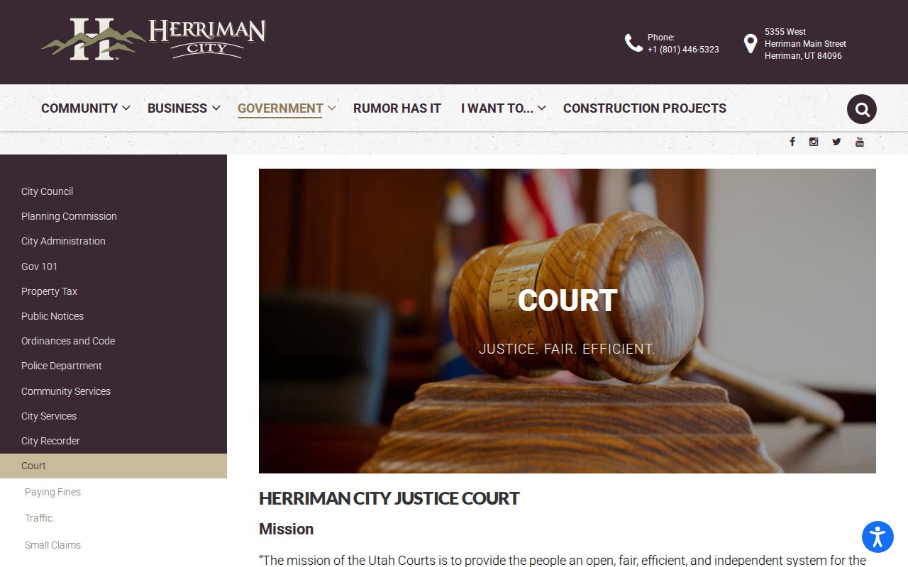
The Herriman Justice Court page lists traffic, small claims, and criminal or ordinance functions, plus a court calendar, Utah Warrant Search, and MyCase links. Its page does not expose a local name-search form or coverage date. Court location and party fields can add context, but a case result does not establish who lives on a block.
Herriman Official Rolls versus Tools
Official sources and commercial neighbor-lookup tools are different categories. A county map or Assessor record comes from a named custodian and exposes defined fields. A paid commercial tool may combine brokered public records, marketing data, address histories, directory files, and user submissions. It can be stale, charge for access, conflate names, or repeat a corrected record.
| Category | Strength | Boundary |
|---|---|---|
| Herriman GIS and County map | Parcel geometry, layers, buffer, adjacent polygons | No household or HOA member roster |
| Assessor and Recorder | Owner, situs, legal description, plats, transfers | Owner is not every occupant; title may need a professional search |
| Voter data | Defined public name, address, status, and district fields | Request limits and protected or At-Risk records |
| Commercial category | May combine many data sources in one interface | Source, date, correction, and lawful-use limits can be unclear |
For a civic question, cite the official layer and its access date. For a records error, contact the custodian. Do not treat convenience, a paid result, or a shared surname as proof of a neighbor relationship.
Nearby Herriman Neighbor Parcels
A nearby parcel can sit outside the Herriman city line even when mail uses a Herriman place name. The General Plan places High Country Estates in an unincorporated western-area context. Rosecrest entered the city through a 2009 annexation, and the 933-acre Olympia annexation became effective January 1, 2022. Those dates can explain why neighbors in older deeds, plats, tax files, or meeting records carry different jurisdiction labels.
Compare the parcel polygon with the city-limit layer before calling a nearby owner a Herriman neighbor. Then check subdivision, tax, school, water, fire, polling, ZIP, and HOA layers separately. Jordan School District, Jordan Basin Improvement District, Unified Fire, regional waste, postal delivery, and the city do not share one boundary by default.
The same check matters at a corner or along a new road. A road centerline, common area, parcel centroid, and legal lot line can place features close together without making them one block. Record whether the match means adjacent parcel, same subdivision, same tax district, same ZIP, or same civic meeting. That wording keeps the neighbors result precise.
Label Herriman Neighbor Evidence
A block result is easier to check when each line states what brought it into the set. The Parcel Viewer gives mapped geometry. The Assessor gives parcel and assessment clues. A recorded plat gives lot lines, common areas, and legal descriptions. The voter file, when lawfully obtained, gives an election record. A city meeting gives public context tied to a date, not proof that a person lives nearby.
Keep the parcel ID, situs address, mailing address, subdivision, city-limit status, and source date in separate fields. A parcel can have a mailing address away from the mapped lot. A historical deed can use a rural or township label. A civic group can mention a project without publishing a roster. Those differences are normal in Herriman, where Rosecrest, Olympia, older rural labels, and new subdivisions meet in the record trail.
For a focused neighbor question, save the map view and then test only the records that fit the reason for the search. Use the Recorder for a plat or transfer, the City Recorder for minutes, Police Records for a specific incident request, or Elections for the permitted voter-data route. If the needed field is withheld, keep the blank and cite the limit. A missing name is not an invitation to rebuild a protected address from other fragments.
Herriman Neighbor Privacy Limits
Public records do not expose renters, unlisted household members, utility customers, delivery lists, DMV address history, private school details, or nonpublic HOA rosters. Sealed, juvenile, adoption, and private court records are separate limits. Safe at Home protects eligible Utah survivors with a substitute address and mail forwarding. Actual home and mailing addresses, city or county, precinct, phone, and related identifying location data are confidential.
Safe at Home applicants work with a certified Program Assistant. Herriman Police is listed as an assistant contact at 5355 West Herriman Main Street, with 801-727-0945 in the inspected assistant directory. Voter withholding is separate and can cover qualifying victims, law-enforcement officers, protection-order subjects, armed-forces members, public figures, and co-residents. Participation or a substitute address should not be used to infer a protected home.
The Utah Safe at Home program page explains the confidentiality boundary that protects some Herriman neighbors.
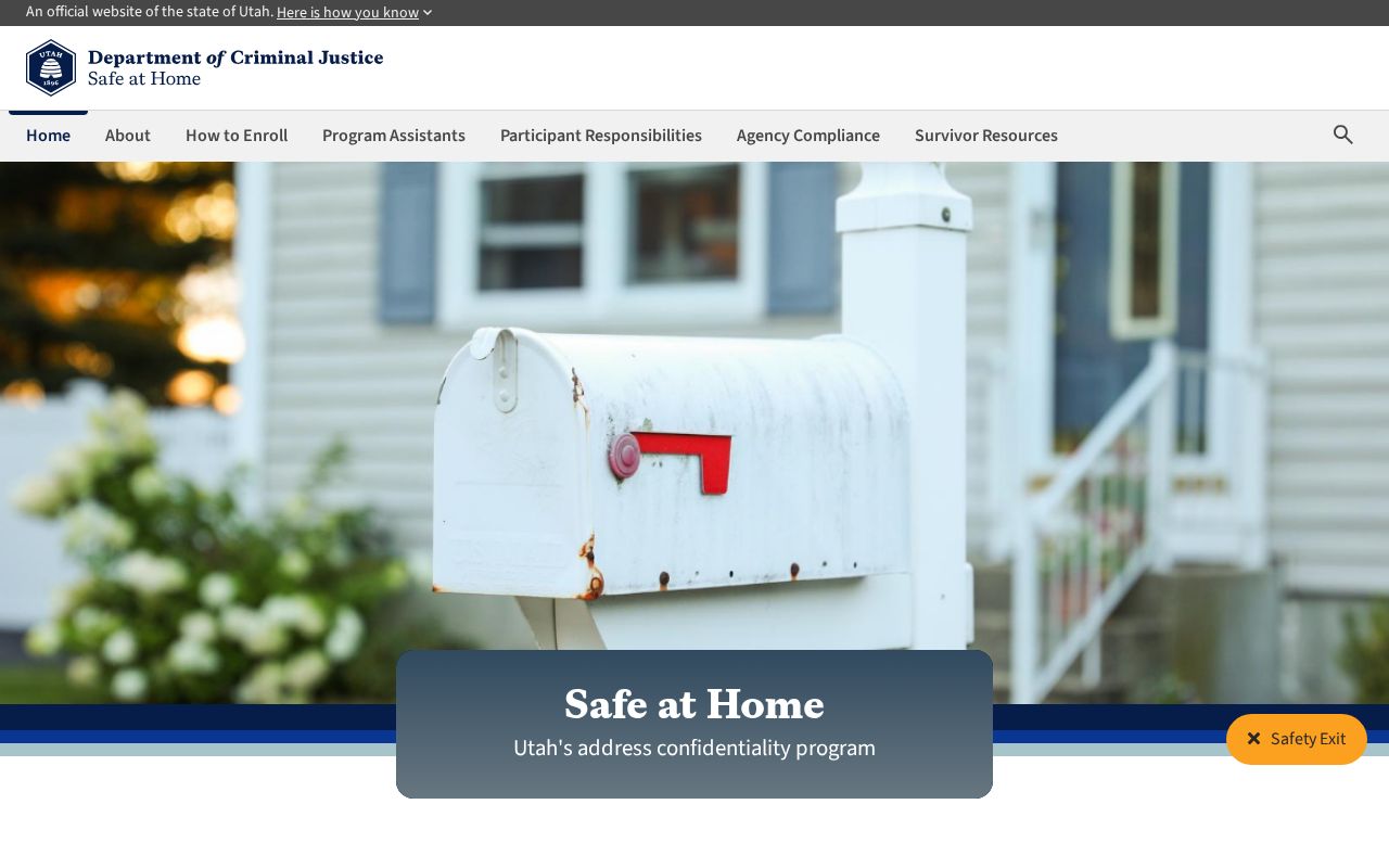
The Safe at Home information shows why a blank neighbor result can be intentional. The program is a safety route, not a puzzle to defeat with parcel, voter, court, or civic fragments.
Lawful use. Herriman neighbor research can support civic curiosity, family reconnection, and awareness of a block. Utah Code §76-5-106.5 describes stalking conduct that can include monitoring, surveillance, appearing at a residence, contacting a neighbor, property interference, or electronic acts. Never use records to stalk, harass, intimidate, or harm anyone.